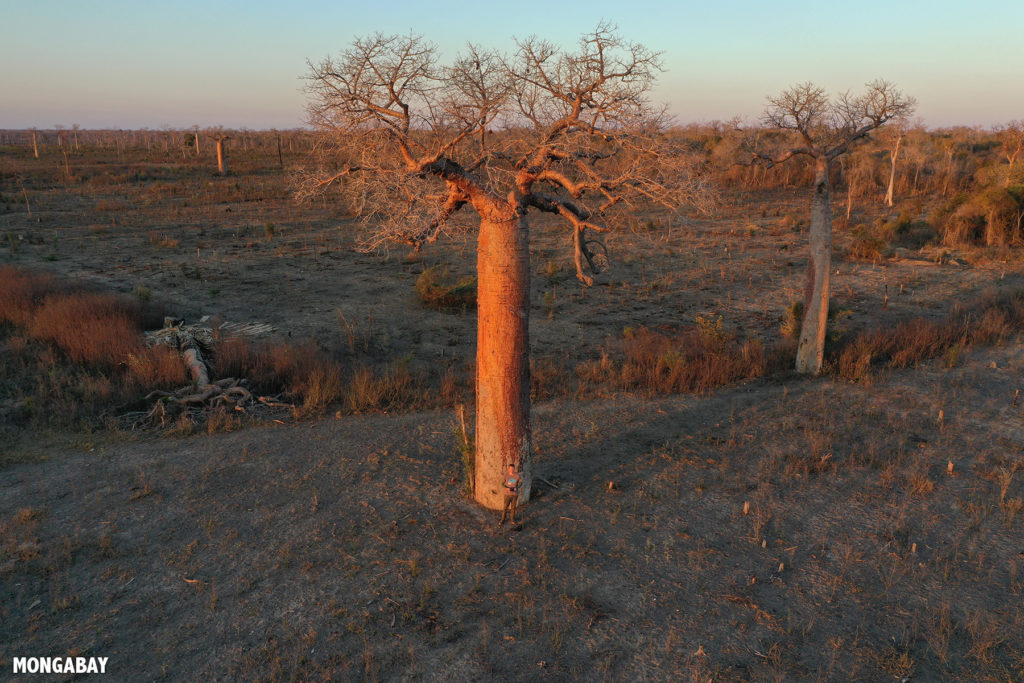
The dry forest of western Madagascar is famous for its wildlife and baobab trees, including the tourist destinations of Baobab Alley, Tsingy de Bemaraha, and Kirindy Forest. Among the species that call these forests home are the rabbit-sized giant jumping rat (Hypogeomys antimena); the puma-like fossa (Cryptoprocta ferox), Madagascar’s largest predator, which feasts on lemurs; and Verreaux’s sifaka (Propithecus verreauxi), the so-called “dancing lemur.”
In July 2019 I traveled to Madagascar for the annual Association for Tropical Biology and Conservation (ATBC) meeting, which was held in the capital city, Antananarivo. Ahead of the conference, I used the opportunity to visit the Menabe region of western Madagascar to investigate some GPS points identified via Global Forest Watch’s GLAD alert system as potential recent deforestation. I already knew what I was likely to find, thanks to reporting by Mongabay contributor Emilie Filou, who filed a story in February 2019 on illegal corn farming in the region, as well as recent high-resolution satellite data from Planet.
