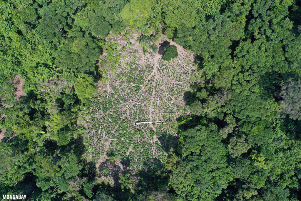
In early March 2020, I visited the tri-border area of Peru, Colombia, and Brazil and used the opportunity to explore a cluster of potential deforestation hotspots detected by Global Forest Watch’s GLAD alert system.
According to Global Forest Watch, the patches were small and dispersed. Therefore I expected to find small-scale clearing for subsistence or local agriculture. But I was in for a bit of a surprise.
March is the height of the rainy season in this part of the Amazon, meaning that the floodplain forests are inundated and one can boat through the lower parts of the rainforest canopy. Global Forest Watch’s GLAD alert system showed some change in forest cover in these floodplain forest areas, but a look at satellite imagery from Google Earth and Planet suggested that these were indicative changes in water levels and rivers’ courses rather than actual forest loss.