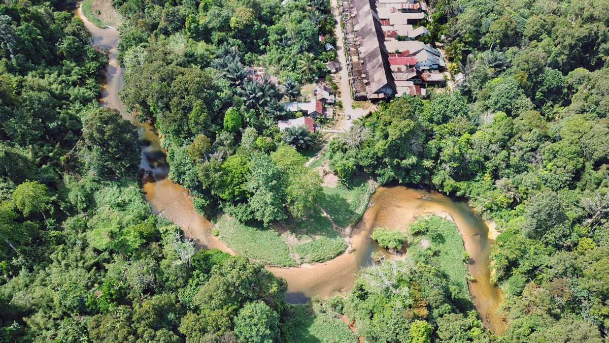
Research published in recent years has shown that Indigenous territories have experienced substantially lower rates of forest loss than non-Indigenous lands. Given that Indigenous territories account for at least 36% of the world’s “intact forests” and Indigenous Peoples and local communities (ILPC) live in or manage about half of the planet’s lands, these areas play a critical role in addressing the major environmental challenges we face, from biodiversity loss to climate change.
Yet in many places, IPLCs lack formal recognition of their customary lands and resources, jeopardizing their basic human rights as well as heightening the risk that these areas could be damaged or destroyed, exacerbating global environmental problems. For these reasons, helping IPLCs secure land rights is increasingly seen as a central component of efforts to address climate change and achieve conservation goals.

Nonette Royo, a lawyer from Northern Mindanao in the Philippines who has been working at the intersection of rights and the environment for more than 30 years and has co-founded several organizations, is one of the most prominent advocates for advancing the rights of Indigenous Peoples, local communities, and women. Royo is now the executive director of the Tenure Facility, which was created to provide financial and technical support to IPLCs in their struggle to secure and strengthen their rights, including legal recognition of their land tenure. Royo has served in that capacity since the Tenure Facility became an independent organization in 2017 when it was spun out of the Rights and Resources Initiative (RRI).
In its short existence, the Tenure Facility has already made a substantial mark in the rights space, helping its partners secure or advance their tenure across 14 million hectares, an area larger than Greece or the U.S. state of New York. The timing of this achievement has been particularly critical given the surging interest in “nature-based solutions”, which has increased appetites among governments, companies, and investors to monetize forests, wetlands, or other carbon-dense ecosystems. Communities that have secure tenure for their customary lands potentially have a greater say in how those lands — and the services they afford — are used and how the resulting financial streams are distributed.

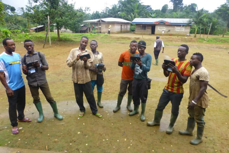
While the process for securing tenure varies from jurisdiction to jurisdiction, a common early step across projects involves a community documenting its customary land use practices and territory, which it can then use as a tool to leverage legal rights frameworks at local, national, and international levels. That’s an area where there have been significant changes in recent years due to the wider availability of technological tools, according to Royo.
“Mapping technology has advanced so much that it frees up budget and time to spend in social or community organizing and social mobilization,” Royo told Mongabay. “Mapping technology also advanced forest monitoring and pushed for enforcement each step of the way.”
But tenure mapping isn’t as simple as seeing where forest exists on a satellite image — it’s a product of traditional knowledge. That means it can’t be outsourced to a company or government: Communities must lead the process, says Royo.
“Now that technology has advanced for accuracy and speed in map-making, there is more focus on legitimacy, meaning ground-truthed information.,” Royo said. “Mapping and delineation of territories are mainly ‘social’ processes. This means that no amount of speed and high-resolution mapping will be acceptable, nor can match the credibility and legitimacy of a deliberate, tactical and incremental social mapping process that is trust-based, and community-led. This is also what governments cannot, on their own, develop.”
This lesson illustrated by this mapping example has often been overlooked or ignored by the conservation sector, especially among agencies and organizations that employ top-down approaches to their work, argues Royo.
“Many models are now emerging to get these types of approaches, which require deep listening and letting communities lead the process, and adjusting or adapting their own agenda, and being willing to be transformed in the process. This is most needed in the conservation space. This means respecting all rights, not just of people (as individuals or collective), but of their ways of tending with nature and co-beings with nature.”
Royo spoke about these issues and a range of other topics during a December 2021 interview with Mongabay.